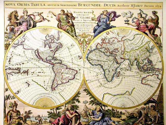
Maps of ancient Italy – Which old Italian chart do you prefer?
Let’s discover how Italy was a long time ago! A fascinating photo trip through the old maps of Italy
 Credits: Raremaps
I don’t know if it’s the same to you, but I find that old maps have a kind of charm I can’t explain. It’s just as if they tell a story which absolutely deserve to be listened. Ancient charts, I feel, give off a reverential power that you cannot pass over.
Furthermore, if you’re a bit curious like me, how could you avoid having a look at an old map if you have it within reach? Well, to satisfy our curiosity, I’ve looked for maps of ancient Italy which show how italy was centuries ago. Enjoy!!!
Ancient map of Italy – Old map dating back to 1720
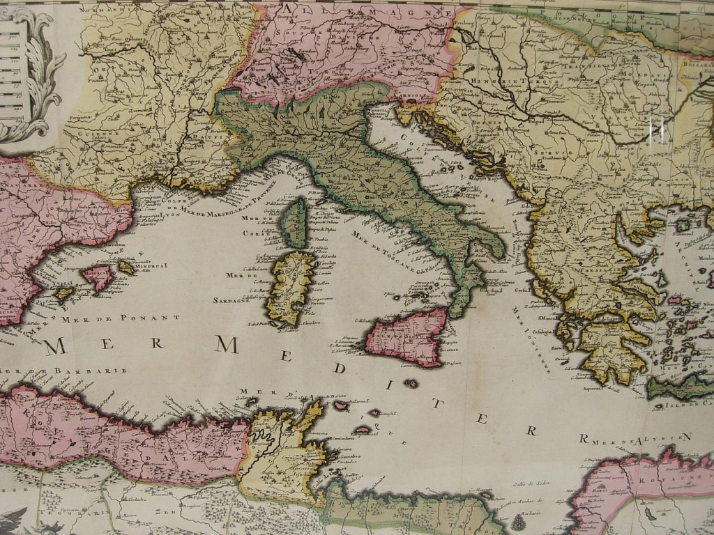 Credits: Anticoantico
Ancient Map of Pompeii – Old map of Pompeii before the eruption of Vesuvio
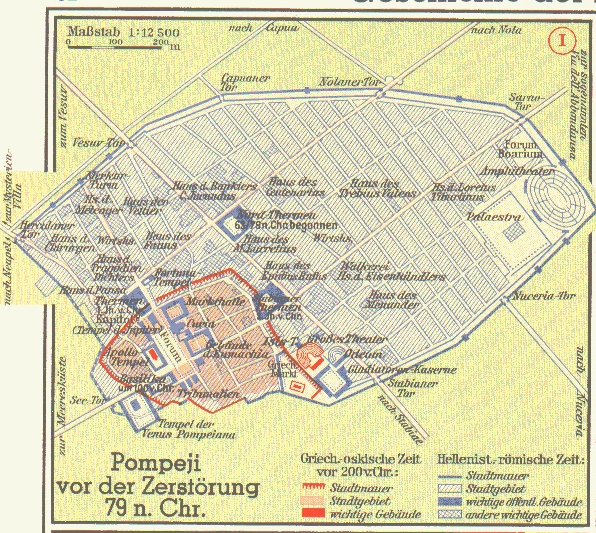 Credits: Inform.umd.edu
Ancient Map of Tuscany – Old map copper engraved
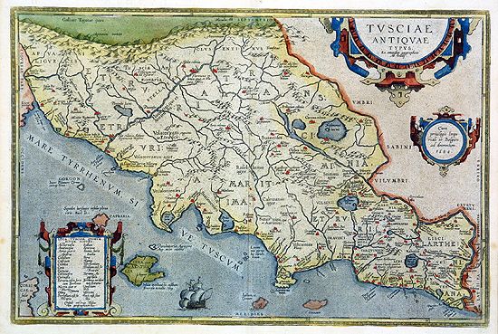 Credits: pettinarolimapsandprints
Ancient map of the territory of Rome – Old map dating back to 1620
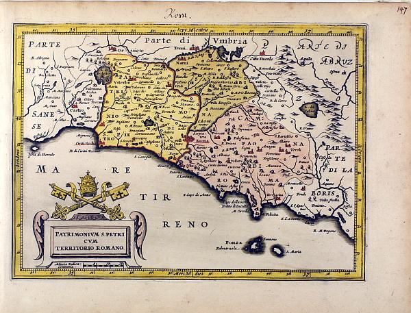 Credits: pettinarolimapsandprints
Ancient map of Sicily – Old map copper engraved
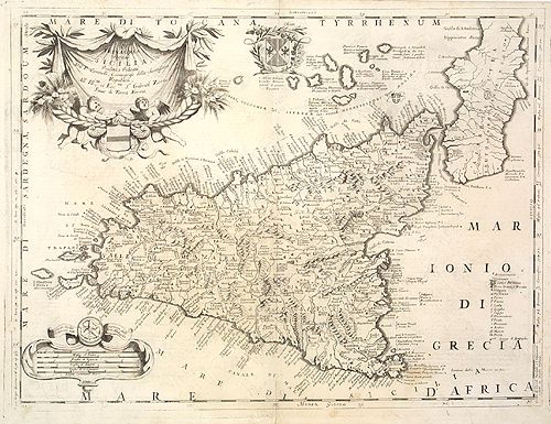 Credits: pettinarolimapsandprints

Subscribe to our RSS and keep you informed about how Italy WAS and IS !!! Stay tuned: follow us on Twitter and Facebook!

Suggested videos


Suggested Hotels


 +39.070.513489

![]()
![]()
![]()
![]()
![]()
![]()


